 VERDVIT
Bay of Bengal Cyclone Watch: IMD Forecast and Fishing Warnings Explained
What IMD’s dated Bay of Bengal forecast confirms, what it does not, and how to read the region-specific fishing and rainfall warnings without a false landfall claim.
The Bay of Bengal weather watch carries a practical warning: fishermen and coastal visitors should read the dates and areas in IMD’s advisory, not treat a predicted cyclone as a confirmed landfall. In its special bulletin issued at 1:30 PM IST on 23 October 2026, IMD’s Regional Meteorological Centre in Kolkata described a low-pressure system and a possible strengthening sequence over the following days.
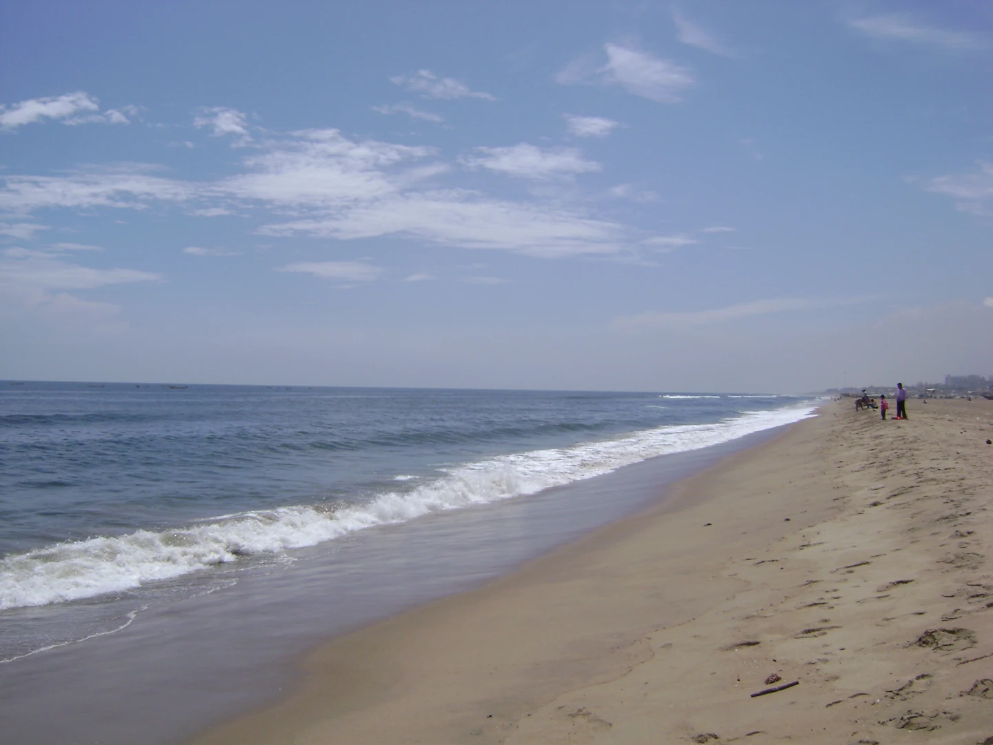
Marina Beach and the Bay of Bengal in Chennai, photographed in 2007 by L.vivian.richard. Real archive illustration; not an image of the October 2026 weather system or a forecast landfall location. Public domain, released worldwide by photographer L.vivian.richard.
Status of this report: This is a source-based explanation of that dated bulletin, checked on 24 October. It is not a live storm tracker. The forecast below does not establish that each predicted stage has already happened, and a newer official advisory may replace these timings. The archive photograph illustrates the Bay of Bengal coastline; it is not evidence of current storm conditions.
Key takeaways
- The bulletin’s observed starting point was a low-pressure area, not a confirmed named cyclone.
- IMD forecast a depression on 24 October, a deep depression on 25 October and a cyclonic storm over the west-central Bay of Bengal on the morning of 26 October.
- The subsequent movement toward the North Andhra Pradesh and adjoining South Odisha coasts was a forecast, not an exact landfall confirmation.
- Kolkata’s advisory contained separate instructions for deep-sea fishermen, the West Bengal coast and visitors to West Bengal beaches. Those boundaries matter.
- Rainfall risks were specified by district and date; this was not a blanket warning of identical conditions across eastern India.
What IMD actually observed
The special bulletin said a low-pressure area formed over the east-central Bay of Bengal and adjoining southeast Bay at 5:30 AM IST on 23 October. It remained over that region at 8:30 AM. That is the observation supporting this article’s starting point: a system existed over the sea before the later intensification stages were forecast.
A dated observation and a forecast answer different questions. The observation describes what meteorologists identified at a particular time. The forecast describes how the system might develop afterward. Combining them into a headline saying a cyclone has already struck would change the meaning of the source.
The distinction is especially useful when reading forwarded messages. A map carrying a projected path does not, by itself, prove the system has reached a particular coastal city. Readers need the bulletin’s issue time, its description of the system and the area covered by the warning before applying it to their own plans.
The forecast timeline, without a false landfall claim
IMD’s 23 October bulletin outlined a possible progression: depression on 24 October, deep depression on 25 October and cyclonic storm over the west-central Bay on 26 October morning. It then described west-northwestward movement toward the North Andhra Pradesh and adjoining South Odisha coasts over the following two days.
These dates are retained here as a forecast issued on 23 October. They are not retrospective confirmations. In particular, the word “toward” should not be replaced with a specific landfall location or hour. The reviewed bulletin does not justify naming one town as the certain impact point or assigning it an unsupported wind speed.
A 23 October report by India Today also described the low-pressure formation and the expected strengthening sequence. That corroborates the broad outlook, but the primary IMD bulletin remains the basis for the detailed fishing and West Bengal district warnings below. Neither source is used here to declare a final storm track.
Why the fishing instructions have different dates
The Kolkata bulletin advised fishermen against deep-sea fishing over the central Bay of Bengal and adjoining north Bay from 26 October. It also advised fishermen already in deep-sea areas to return to the coast by 26 October. Separately, it said fishermen should not venture into the sea along and off the West Bengal coast from 27 October until further notice.
These are not three conflicting deadlines. They concern different situations: entering a deep-sea area, returning from a trip already underway and venturing into waters along a particular coast. For someone deciding whether to leave port, the relevant question is therefore both where the vessel will go and when it will be there.
The article does not extend Kolkata’s coastal instruction to every Indian port or claim that it replaces advisories for Andhra Pradesh, Odisha or other states. A vessel operating elsewhere needs the applicable local marine instruction. A general news explanation cannot grant permission to sail or override a harbour authority’s direction.
What the bulletin says about West Bengal rainfall
For South Bengal, the bulletin forecast heavy rain, described as 7–11 cm, at isolated places in South 24 Parganas, East Midnapore, West Midnapore and Jhargram from 8:30 AM IST on 28 October to 8:30 AM on 29 October. For the following 24-hour period, ending at 8:30 AM on 30 October, the listed South Bengal districts were West Midnapore, Jhargram, Bankura and Purulia.
“Isolated places” is an important qualifier. It does not mean every location in a named district is forecast to receive the same amount, and it is not a measured rainfall total from the future. The number is part of a geographically and temporally limited forecast.
For residents, this makes a district-specific update more useful than a dramatic statewide headline. Someone in one of the listed districts can check the applicable warning as the date approaches, while someone elsewhere should not assume the same forecast applies. This report does not invent school closures, transport cancellations or evacuation orders that the reviewed sources have not announced.
North Bengal had a separate outlook. For the period from 8:30 AM on 29 October to 8:30 AM on 30 October, the bulletin forecast isolated heavy rain in Darjeeling, Jalpaiguri and Alipurduar. It also mentioned possible landslides in hilly areas of Darjeeling in its impact guidance. Those are forecast risks, not reports that landslides have occurred.
Thunderstorms and coastal visits need separate attention
The special bulletin also included thunderstorm, lightning and gusty-wind guidance for specified parts of the region. Its practical precautions included taking shelter in safe places, avoiding shelter beneath trees or near electric poles, and staying away from water bodies during unsafe conditions.
For beaches, the bulletin said activities along the West Bengal coast may be regulated from 27 October. “May be regulated” is not a declaration that every beach is already closed. Visitors should distinguish that possible restriction from an actual notice issued for the place they intend to visit.
A calm-looking beach image is not a safety assessment either. Conditions can differ between an archive photograph, the shoreline and waters farther offshore. The image used with this article shows Marina Beach in Chennai in 2007; it deliberately carries an archive label and cannot establish current conditions in West Bengal, Andhra Pradesh or Odisha.
How to read a newer warning without confusion
Start with the issue date and time. Then identify whether the statement reports an observed system, forecasts later strengthening or gives an action instruction. Finally, compare the area and validity period with your location and plans. That order prevents an older forecast from being mistaken for a current observation.
When two messages appear to disagree, check whether one was issued later or covers a different area. A revised forecast does not necessarily mean the earlier document was fake; forecasts can change as a weather system develops. Conversely, an undated screenshot should not automatically be accepted as the newest official warning.
Before sharing a storm name, a wind speed or an exact landfall hour, look for that specific claim in a dated official bulletin. This article does not supply a speculative name, death toll, damage estimate or emergency order. Keeping those gaps visible is more useful than filling them with viral claims.
Frequently asked questions
Does this bulletin confirm that a cyclone has made landfall?
No. The reviewed 23 October bulletin describes low-pressure observations and a future strengthening and movement forecast. This explanation does not turn that outlook into confirmation of landfall.
Is 26 October the confirmed impact date for my coastal town?
No. The 26 October morning reference concerns the forecast cyclonic-storm stage over the west-central Bay. The following movement outlook is broader than a verified town-specific impact time.
Can fishermen use this article instead of a marine advisory?
No. This is explanatory reporting. Fishermen need the current instruction applicable to their operating area, including any subsequent update or harbour direction. The dated Kolkata guidance is reproduced with its geographical limits, not as nationwide sailing clearance.
Is the photograph from this October’s weather system?
No. It is a real, credited archive view of Marina Beach and the Bay of Bengal, originally uploaded in 2007. It is included for coastal context, not as documentary evidence of a current cyclone.
The practical conclusion
The verified story is a developing-weather outlook with specific precautionary dates, not a confirmed disaster report. Reading the source’s time, region and uncertainty makes it possible to take the warning seriously without exaggerating what meteorologists have established.
Keep a newer official district or marine advisory ahead of this dated explainer when making real-world decisions. For other source-based explainers and current reporting, browse Verdvit’s blog archive or return to the Verdvit homepage. No shopping, travel-booking or promotional links are included in this article.
Reporting and image notes
IMD Kolkata special bulletin, 23 October 2026
Special Bulletin No. 1, issued at 13:30 IST on 23 October 2026, was opened and extracted in full. It supports the observed low-pressure area, forecast strengthening sequence, exact fishing dates and district-specific rainfall validity periods. Forecasts and suggested actions are not claims of observed landfall, rainfall damage, closures or landslides. A newer official bulletin may supersede this dated outlook. Exact source URLs are retained in Verdvit’s private editorial record.
Independent dated forecast report
India Today’s science report, published 23 October 2026 at 12:45 IST, was opened in full. It corroborates the broad low-pressure and possible 24–26 October strengthening sequence. The detailed fishing and district precautions use the primary IMD bulletin, not a predicted final track. Exact source URLs are retained in Verdvit’s private editorial record.
Image attribution
Marina Beach and the Bay of Bengal in Chennai, photographed in 2007 by L.vivian.richard. Real archive illustration; not an image of the October 2026 weather system or a forecast landfall location. Public domain, released worldwide by photographer L.vivian.richard. Original source and licence are retained in the provenance record. Verdvit proportionately re-encoded this photograph to WebP without a crop or added content. No current event, product identity or endorsement is implied.