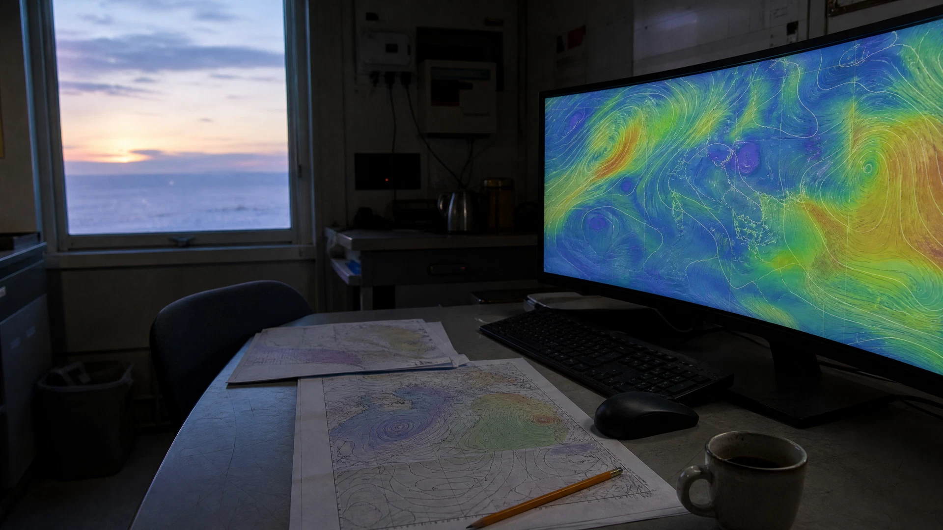
Google DeepMind and Google Research introduced WeatherNext 3 on September 3, bringing forward an advanced iteration of artificial intelligence tailored for meteorological applications. The deployment of this new system marks a dedicated effort by the technology company to refine how atmospheric data is processed and delivered to end users. By relying on continuous observations from space, the developers aim to provide a more dynamic and responsive approach to global forecasting. The introduction of this system represents a shift in the operational cadence of weather modelling, moving away from longer intervals between updates toward a continuous cycle of data assimilation and output generation.
Continuous Satellite Data Assimilation
The architecture of the newly introduced model is designed around the continuous intake of observational data. Specifically, the system ingests live geostationary satellite mosaics, utilising the constant stream of imagery captured by instruments positioned high above the Earth. By processing these continuous satellite feeds, the artificial intelligence model is capable of generating a completely new forecast every single hour. This hourly generation cycle ensures that the outputs reflect the most recent atmospheric conditions observed by the geostationary satellites. The reliance on live mosaics allows the model to capture rapidly developing weather patterns and update its projections with a frequency that aligns with the continuous nature of the observations. This approach ensures that the resulting forecasts are closely tied to the immediate state of the atmosphere as recorded by the satellite network.
Enhanced Spatial Resolution
In addition to the increased frequency of its forecasting cycle, the model introduces a refined level of spatial detail for specific outputs. The system is configured so that selected surface variables are generated at a five-kilometre resolution. This specific resolution provides a finer level of local detail compared to broader global models, allowing for a more granular representation of conditions at the surface level. By achieving this five-kilometre threshold for selected variables, the model offers a tighter grid for interpreting meteorological data, which can be crucial for understanding localised phenomena. The focus on enhancing the resolution of these specific surface variables demonstrates an effort to bridge the gap between large-scale atmospheric patterns and the finer details required for local assessments. This level of granularity is a defining characteristic of the system's output capabilities.
Product Integration and Deployment
Following the introduction of the model by Google DeepMind and Google Research, the system is now moving into its operational deployment phase across the company's ecosystem. Google said the model was being integrated into Search, Gemini, Maps, Google Maps Platform, Cloud, and Earth Engine. This wide-ranging integration effort will embed the hourly forecasts and five-kilometre resolution data directly into the platforms and services utilised by consumers, developers, and enterprise clients.